|
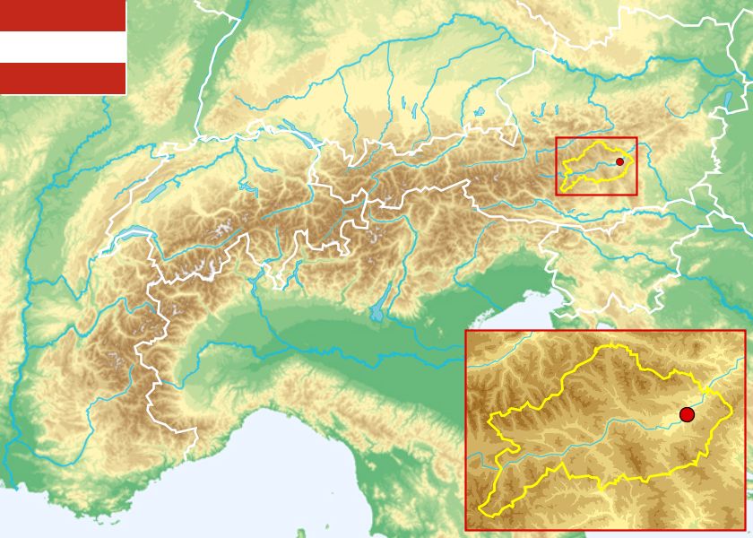
NUTS-3 area Westliche Obersteiermark (Österreich)
|
to view the images you need a dom-capable browser
|
||||||||||||||||||
|
|
||||||||||||||||||
| None | |||||||||||||||||||
NUTS-3 |
|
NUTS-3 area Westliche Obersteiermark (Österreich)
|
to view the images you need a dom-capable browser
|
||||||||||||||||||
|
|
||||||||||||||||||
| None | |||||||||||||||||||