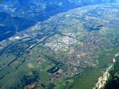
 Crolles, Grésivaudan Valley
|
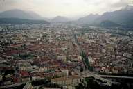 Grenoble
|
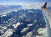 Chartreuse Mountains
|
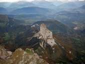 Mont Aiguille (2.085m)
|
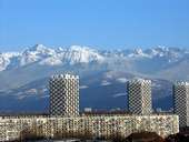 Blocks of Flats in Grenoble
|
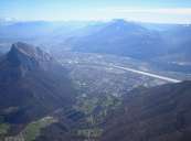 Grenoble with the Chartreuse Mountains
|
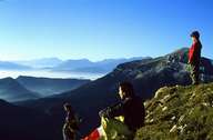 Hikinkg in the Chartreuse Mountains
|
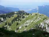 Chartreuse
|
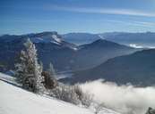 Chartreuse
|
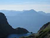 Belledonne
|
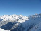 Belledonne
|
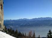 The Belledonne Mountains
|
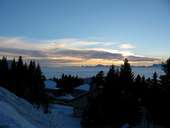 The Belledonne Mountains in the Background
|
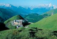 The Castle Notre Dame de la Salette
|
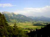 Vercors Plateau
|
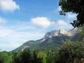 Vercors - les Coulmes
|
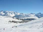 The Village l'Alpe d'Huez
|
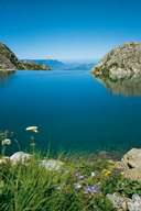 Lac du Crozet
|
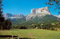 Mont Aiguille
|
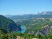 Monteynard
|
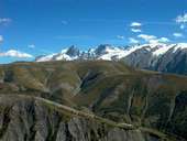 Oisans
|
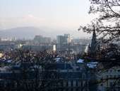 Inner town of Grenoble
|
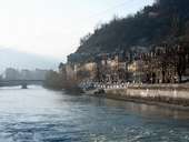 River Isère in Grenoble
|
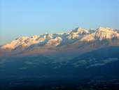 View from the Bastille in Grenoble
|
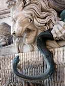 The symbols of the city of Grenoble (lion) and the river Isère (snake)
|
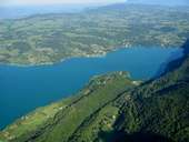 Lac d'Aiguebelette
|
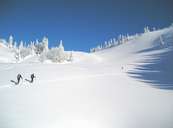 Chartreuse
|
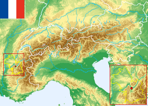 Topographic map
|