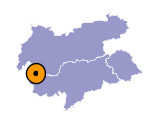
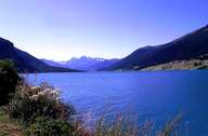
Image collection »Graun i.V./ Curon Venosta«
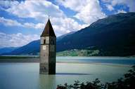
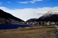
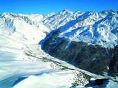
Graun is the third largest village in South Tyrol and encompasses the main part of the upper Vinschgau Valley. The centre of Graun was rebuilt at a higher place at the beginning of the 1950's after the construction of the reservoir. Graun encompasses the two settlements at the saddle of the Reschen Pass (Reschen on the northern shore of the reservoir and St. Valentin auf der Haide near Lake Haider in the south) and two high valleys: the Langtauferertal, with groups of farmhouses and hamlets, stretches up to the glaciers of the Ötztaler Alps, and the Rojental with the farmhouses at the highest altitude in South Tyrol, which stretches south-westwards to the Sesvenna Mountain Range.
|
|
|
|
|
|
