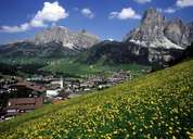
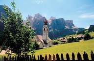
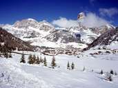
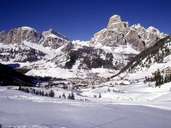
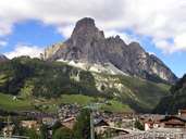
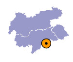
Image collection »Corvara/ Corvara i.B.«
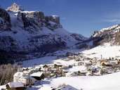
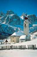
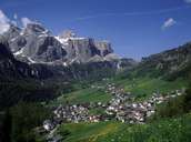
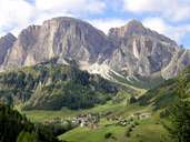
Corvara is one of the eight villages in the South Tyrolean Dolomites Mountains dominated by the Ladinic language. The village encompasses the south-western end of the Gadertal, surrounded by the Puez Mountain Range in the north (with the Sas Songher Peak) and the Sella Mountain Range in the south. From Corvara a road goes up to the Grödner Joch and Campolongo Pass, reaching the Grödner- and Buchenstein Valley within the Dolomites Mountains. Corvara, which is characterized by numerous hotels, forms an agglomeration with Pescosta and Kolfuschg. Corvara is internationally well known for the largest skiing area (more than 100,000 people/hour can be transported) in the Dolomites.
Further links: Weblink »Wikipedia«, tiroLexikon
