Image collection »Bruneck/ Brunico«
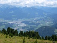
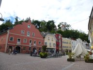
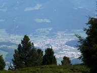
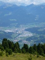
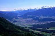
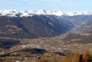
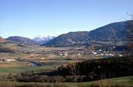
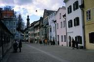
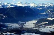
The district capital of Bruneck is situated in the wide Pustertal (running from east to west) at the entrances to the wide Tauferer-Ahrntal in the north and the Gadertal in the south. The picturesque historic town stretches along a gentle slope between the Obertor in the east and the Neutor in the west at the foot of the hill of the castle. Bruneck is one of the most important industrial towns in South Tyrol, with a rapidly growing population. Today Bruneck is among the six communities in South Tyrol which population exceeds 10,000. Bruneck and its incorporated villages of Dietenheim, Aufhofen and Reischach, which are situated on terraces, attract many tourists with their beautiful surrounding and the skiing area of Kronplatz. The Stegner Fair in October attracts many visitors every year.
