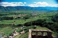
Image collection »Eppan a.d.W./ Appiano s.s.d.v.«
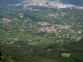
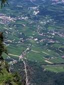
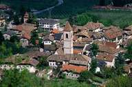
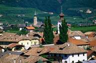
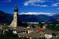
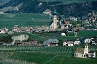
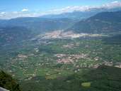
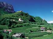
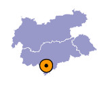
Eppan stretches from 239 m above sea level up to the Mendelzug Mountain Range (including the summits of Gantkofel and Penegal), which does not only form the village's border, but also the provincial border. Eppan is subdivided into compact villages, including Girlan, Schreckbichl, Missian and St. Pauls with its striking "Überetscher Cathedral", and many scattered farmhouses surrounded by vineyards and mansions. St. Michael (a.k.a. Eppan) is the administrative centre of the large village (more then 10,000 inhabitants). Eppan, situated on a terrace in Überetsch (a former valley of the Etsch River, which was transformed glacially) and in an area with a mild climate and an excellent traffic infrastructure, the village has gained international reputation as a centre for wine and tourism.
