Image collection »Fiss«
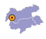
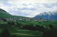
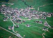
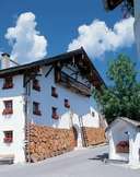
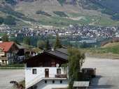
Fiss is situated 500 m above the bottom of the valley in the Oberes Gericht region on the gentle slopes of a terrace facing south. The centre of the scattered village is dominated by compact-built impressive farmhouses, built in the Western-Tyrolean style - and winding alleys. In the 1960's Fiss was still a farming community. Since the development of the skiing area of the Fisser Joch (Samnaun Mountain Range) and the connection with the skiing area of the nearby village of Serfaus, Fiss has become one of the most important skiing areas in the Tyrol. Today this change has manifested itself in the village where the old centre is completely surrounded by hotels and guest houses.
|
|
|
|
|
|
