Image collection »Erl«
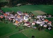
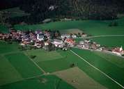
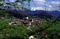
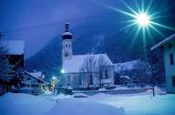
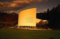
Erl is the most northern village in the Inntal, subdivided into the villages of Erl, Erlerberg and Mühlgraben. The old, beautiful scattered village at the Bavarian border is a quiet farming community 15 km away from Kufstein. Erl is well known for its passion plays and the Tiroler Festspiele (Tyrolean Festival). It is situated in a fertile low land between the Inn River and the slopes of the Kaisergebirge Mountain Range and - across the river on the Bavarian side - Brünnstein, Wildbarren and the well known Wendelstein Mountain.
|
|
|
|
|
|
