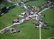
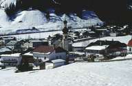
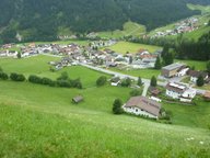
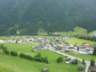
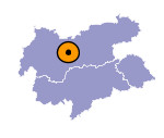
Image collection »Gries i.S.«
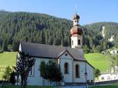
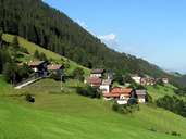
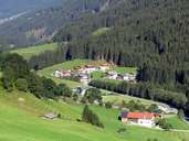
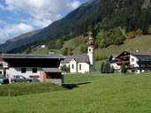
Gries im Sellrain is situated in the centre of the Sellraintal, on the slopes of the Freihut and Rosskogel Mountain in the political district of Innsbruck-Land. Gries is subdivided into several smaller hamlets both on the slopes and on the bottom of the valley with a constant hazard of flooding. Muren (Obergries) and Untermarendebach are to be found at the valley bottom. The centre is located at the confluence of the rivers Zirmbach and Melach, where the Sellraintal is furcated into the Untertal (Kniepiss-Praxmar-Lüsens) and the Obertal (St. Sigmund-Haggen) which connects the nearby Nedertal (Ochsengarten) over the Kühtai Plateau. Gries is a commuter village which tries to profit from its tourist infrastructure.
