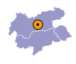
Image collection »Ellbögen«
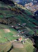
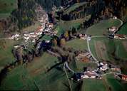
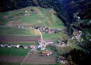
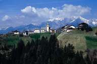
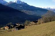
Ellbögen lies on the eastern slopes of the Silltal. The village stretches from the uninhabited bottom of the Silltal to the ridge of the Tuxer Voralpen Mountain Range. The historic Salzstraße Road running from Hall in Tirol over the southern terraces and Ellbögen to Matrei am Brenner, connects the houses and small hamlets of the loosely built-up village. Ellbögen is situated between 900 m and 1300 m above see-level on small terraces on the mountain slopes. The cultural landscape is characterized by farmhouses, which stand parallel to the slopes and are built in the regional architectural style. The majority of Ellbögen's population has to commute as agriculture and tourism cannot generate enough jobs.
|
|
|
|
|
|
