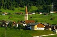
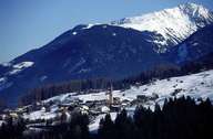
Image collection »Arzl i.P.«
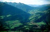
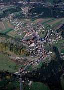
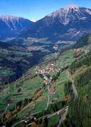
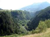
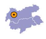
In 1260 Arzl, at the entrance of the Pitztal, was first mentioned in a document. The first traces for a settlement in this region date back to the Bronze Age. The community is situated on two slopes above the steep and narrow bed of the Pitzen Torrent. Arzl is subdivided into the scattered village of Arzl and several compact hamlets. Arzl's mild climate has led to an increase in population figures with new settlements (i.e. Ostersteinsiedlung). Tourism is important in summer and winter. Arzl's main attractions are Europe's highest suspension bridge (Pitzenklamm Bridge) coalescing Arzl with Wald, the biggest settlement on the eastern slope of the valley, and the in 1986 inaugurated trek dedicated to Luis Trenker.
