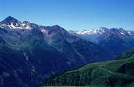
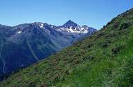
Image collection »Samnaungruppe«
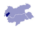
The edge of the Samnaungruppe group is marked by the Paznauntal and the River Inn as far as Val Sinestra (at Ramosch) and the line Ramosch-Fimberpaß-Ischgl. In the southwest its edge runs between Austria and Switzerland. The highest peak is the Muttler(3294 m). Because of its relatively gentle forms at higher altitudes, the Samnaungruppe lends itself very well to winter sports. The ski regions of Ischgl and Serfaus-Fiss-Ladis are among the biggest in Tyrol.

|

|
|
Further links: Hazards Chronicle Tyrol, Weblink »Wikipedia«
