Tirol Atlas Archive

tiroLexikon

^UP

Image collection »Zillertaler Alpen«

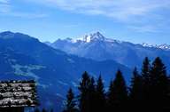
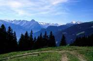
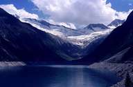
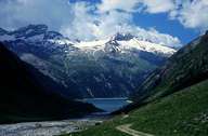
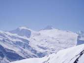
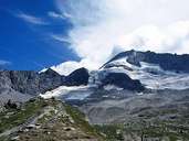
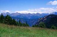
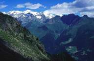
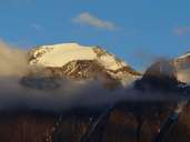
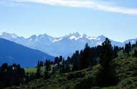
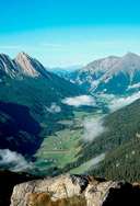
The Zillertaler Alpen make up the greatest part of the main alpine chain and their borders are the Wipp, Puster, and Taufer Ahrntal, Krimmler Ache, Gerlos and Tuxertal valleys. Their core is made up of the very resistant rocks of the Tauernfenster and they are enveloped in slate shells. There a many reservoirs to be found here like, for example, the Schlegeisspeicher, which provide water for the production of electricity in the Zillertal. The political border between Austria and Italy runs along the highest, mostly intensely glaciated peaks. Two of the peaks are the Hochfeiler (3509 m) and the Große Möseler (3480 m).

Tirol Atlas image No.°4435
Zillertaler Alpen from the north
Tirol Atlas image No.°4436
Zillertaler Alpen from the north
Tirol Atlas image No.°6478
Schlegeisspeicher
Tirol Atlas image No.°3690
Schlegeis dam
Tirol Atlas image No.°8532
Gefrorene Wand Spitze (3288 m) and Olperer (3476 m), ski region Hintertuxer Gletscher
Tirol Atlas image No.°3692
Schlegeiskees
Tirol Atlas image No.°6466
Olpererferner mit Olperer (3476 m)
Tirol Atlas image No.°4470
Zillertaler Alpen from Scholders
Tirol Atlas image No.°4441
Hochfeiler, Pfunderer Tal
Tirol Atlas image No.°9128
Hochfeiler (3509 m)
Tirol Atlas image No.°4434
Zillertaler Alpen from N
Tirol Atlas image No.°6465
Pfitscher Tal
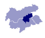
Overview map
Topographic map
   
Further links: Hazards Chronicle Tyrol, Weblink »Wikipedia«