Image collection »Karwendeltäler«
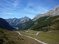
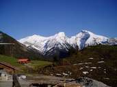
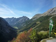
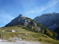
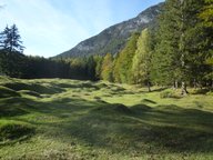
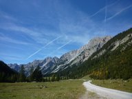
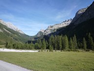
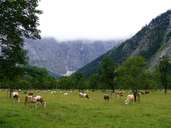
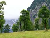
The Karwendeltäler valleys are unique because they don't have any permanent settlements. Because of inaccessibility, due to the sheer limestone rock faces that limit the valley, settlements are restricted to mountain pasture farms. The nature reserve "Naturschutzgebiet Karwendel" (543 km3) is the largest nature reserve in Austria. A total of over 900 km2 of protected reserve on Bavarian and Tyrolean territory have been combined to create the "Alpenpark Karwendel". Even though the Alpenpark can be reached by several toll roads open for private transport, only a few minute's walk takes you to old cultural scenery that has generally been spared any modern interference.
Further links: Weblink »Wikipedia«
