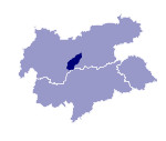
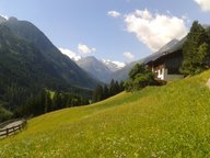
Image collection »Stubaital«
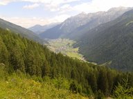
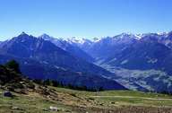
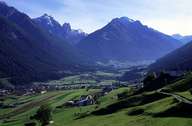
The Stubaital begins at the foot of the Zuckerhütl in the Stubaier Alps. It is approx. 30kms long and after its union with the Oberbergtal is a deeply incised V-shaped valley. In the outer valley section the mountains recede. Downstream from Fulpmes the Ruetz which drains the Stubaital has cut itself deep into the old valley floor on which Mieders and Telfes are located. The accompanying limestone peaks of the Serles range and the Kalkkögel, which is part of the Brenner Mesozoic, overlie a gneiss base that makes up the peaks at the exit of the valley. The once modest iron-ore mining around Fulpmes led to the development of the Stubaier small iron industry (tools, nails). Since the development of the glacier area tourism now plays a particularly dominant role at the head of the valley.
|
|
|
|
|
|
